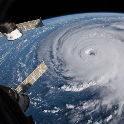
“Sentinel-6” More Precise Sea Level Satellite to Launch – NASA

Credit: NASA.
Article Synopsis – A joint effort between the U.S. and Europe will launch Sentinel-6 Michael Freilich, the first of two satellites that will be used to capture precise sea level rise measurements. The information gained from these satellites will help us better understand how fast seas are rising as well as improve weather forecasts. The satellite is expected to launch from “Vandenberg Air Force Base in California no earlier than Nov. 10, 2020. Its twin satellite, Sentinel-6B, is slated for liftoff in 2025.” To read the actual article click here.
