Located Ancient Sea Level 200 ft down off Maui
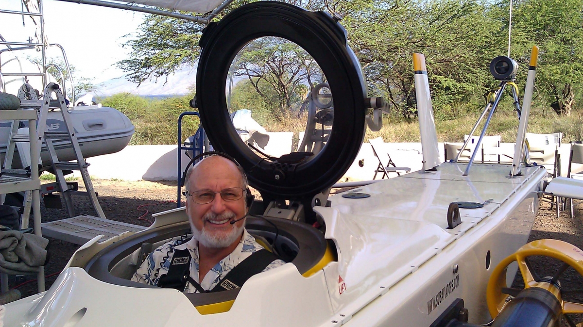
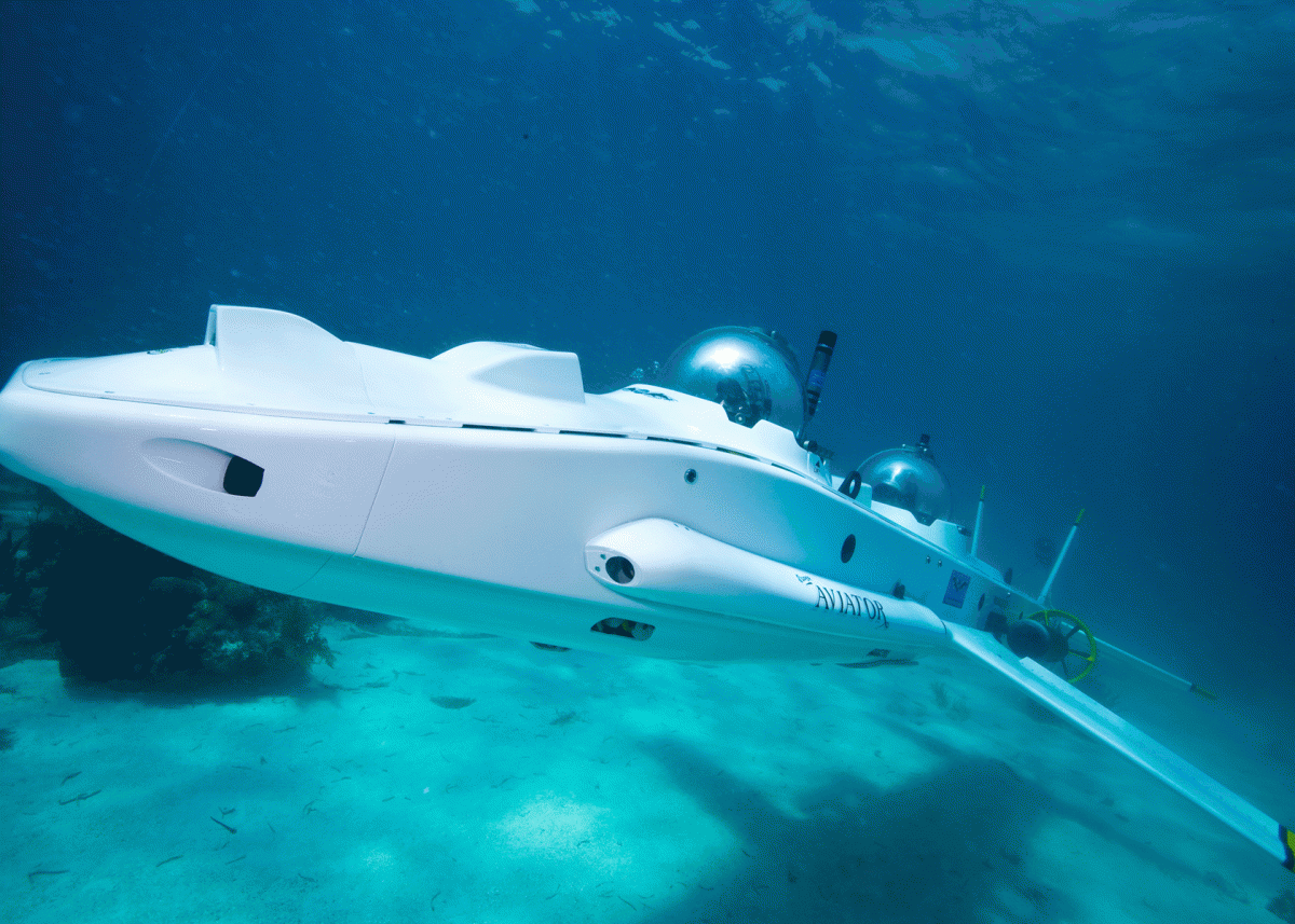
 Today I had the privilege to dive in the ultra-sophisticated submarine "Super Aviator" named because it operates more like an airplane than a typical research sub. I was looking for ancient shorelines, hundreds of feet down, as evidence of sea levels being far below the present.
Our base of operation was Kihei, on Maui. We were towed to the tiny island of Molokini a favorite site for snorkeling in the flooded ancient crater. The pilot of my sub was John Jo Lewis, the senior pilot and one of the Directors of Sub Aviators.
Although I was getting trained as the co-pilot of the two-person vessel, I was content to let him do most of the piloting, so that I could concentrate on looking for the geologic formations.
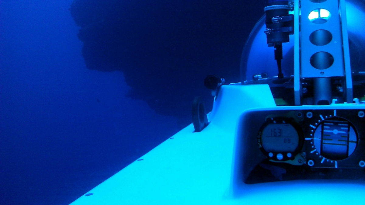
I located four sites that showed the distinctive "wave cut" action resulting in an overhang. They were grouped two each, at depths roughly 165 feet and 200 feet below the surface.
In the photo below you can see one example jutting out to the left, with the submarine gauge console in the lower right.

This undercut — or overhang — was almost certainly made when the ocean was at this depth, in this case 163 below current sea level. That would have been roughly 15,000 years ago — give or take a few thousand.
The main rock here is basalt produced by the volcanic lava. When lava enters the water it usually forms rather distinctive patterns as the molten rock exudes and is solidified in the sea. It appears somewhat similar to "pillows" heaped on top of each other. The point is that it does not demonstrate this kind of an overhang. And such structures certainly do not get formed when the lava is above the surface. These "wave cuts" or overhangs are strong evidence of erosion at the surface over many years.
As has been covered in many previous posts, sea level has changed by hundreds of feet, particularly with the ice ages, that have occured periodically for several million years. The last ice age (more technically the "glacial maximum") occurred about 20,000 years ago. At that time sea level was almost four hundred feet lower than present. It rose over approximately 14,000 years, when it reached nearly the present level.
The photos and evidence I got today off Molokini are the last item for my book expalining rising sea level, "High Tide On Main Street: Rising Sea Level and the Coming Coastal Crisis." On my home page there is a TAB to a description of the book, and a way to be on the auto notification list — if you are interested. I hope to have it available by summer, at least in e-book format.
For more information about the Super Aviator sub, check out http://subaviators.com It is very versatile and appropriaete for research as well as simply exploring the underwater world from the comfort of a "one atmosphere" environment — the same pressure we all experience at the surface. Pretty amazing that it can go down to a thousand feet and operate at speeds up to six knots. I hope to have another chance to dive it, or the next model that is under development, "Orca-Sub."

