
‘Fingerprinting’ the Ocean to Predict Devastating Sea Level Rise – NewsDeeply
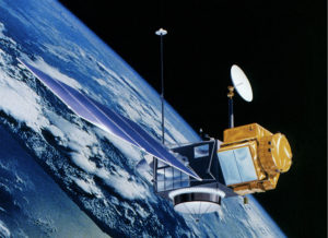 Article Synopsis – Using a satellite-based technology, scientists are ‘fingerprinting’ sea level rise around the world in an effort to identify coastal areas most at risk from devastating storm surge, as hurricanes grow increasingly destructive. The bulk of the data used for the project was collected by a pair of Gravity Recovery and Climate Experiment (GRACE) satellites that can detect movement of water on Earth by measuring the resulting gravitational changes. Sea level fingerprints can show where the seas are rising faster and which coastlines are the most vulnerable to storm surge. To read the actual article click here.